Watsons Pike Trig Point
Trig Point In Allendale, Northumberland
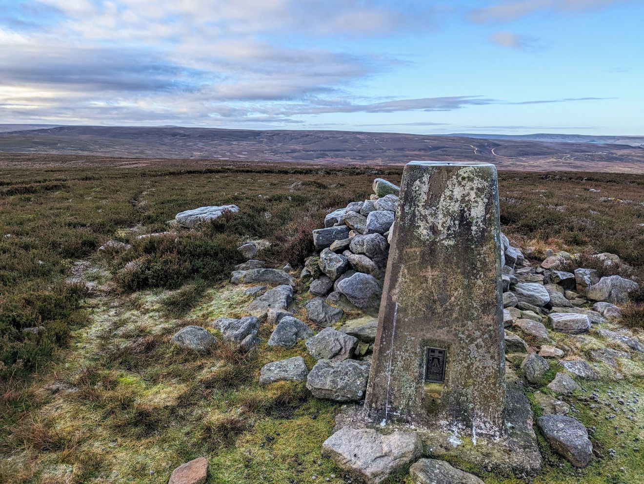
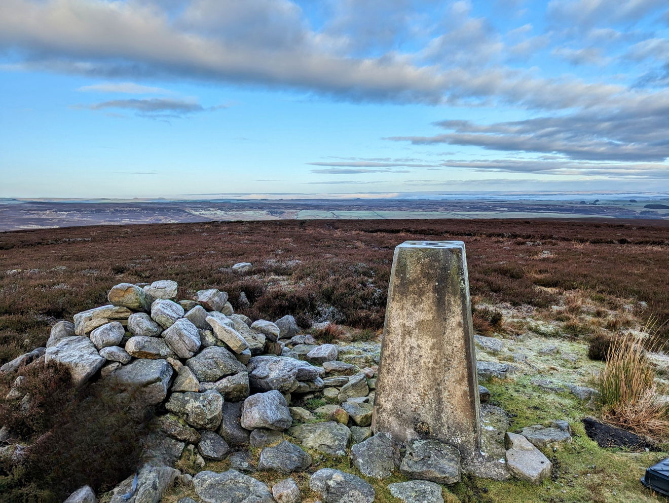
This is the trig point for Watsons Pike (447m) near Allendale.
Height - 447m// Bracket - S6700 // Postcode - NE47 0HR
Login to be able to bag trig point and see which trig points are left on your to do list.
Login To Bag Trig Points
This is the Watsons Pike trig point (447m) sitting on Hexhamshire Common near Allendale Town.

Another easy bagging as from the parking area you simply follow the permissive path south east all the way to the trig point.
Just follow this map, or find it on OS Maps. Around 2.5km and 111m of ascent.
Thanks to Jeff Hall for the photos and information.
Login to be able to bag trigs and see which trigs are left on your to do list.
Login To Bag Trig PointsHow To Find Watsons Pike Trig Point
Where Is Watsons Pike Trig Point?
Lat / Long
54.869745, -2.1705584
What three words
Where To Park For Watsons Pike Trig Point?
Lat / Long
54.88388, -2.155207
What three words
There is a big layby off the road to ditch your car right next to the permissive path.
More Trig Points Near Allendale
Find more trig points near to Allendale, Northumberland.

East Lightside Farm Trig Point
246m Bracket S6487 AllendaleThe East Lightside Farm trig point sits on the edge of a field (246m) near Allendale.

Green Hill Trig Point
530m Bracket S6658 AllendaleThe Green Hill trig point sits on Byerhope Moss (530m) near Allendale.

Gaterley Hill Trig Point
352m Bracket S6228 AllendaleThis is the trig point for Gaterley Hill (352m) near Allendale.
Find Us On Facebook
Come and join our friendly Facebook group and share photos of your trig bagging.
Or ask any questions about the trig points in Northumberland.
Join Northumberland Trigs Facebook Group
