Tosson Hill Trig Point
Trig Point In Rothbury, Northumberland
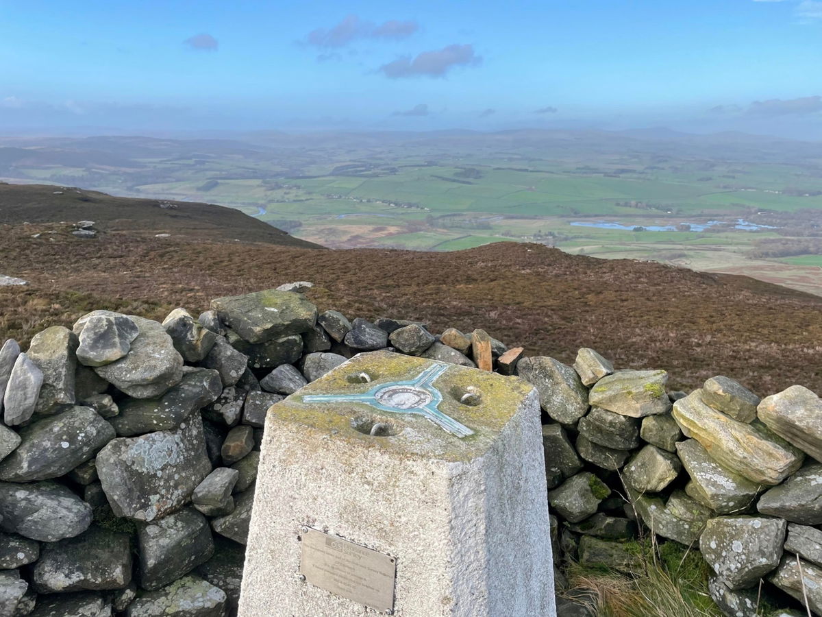
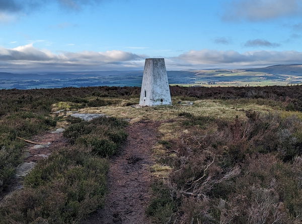
The trig point sitting on top of Tosson Hill (440m) #147.
Height - 442m// Bracket - S1551 // Postcode - NE65 7LN
Login to be able to bag trig point and see which trig points are left on your to do list.
Login To Bag Trig Points
The best thing about bagging this trig point is that you get to spend a day in the glorious Simonside Hills. Sitting at 440m above sea level, you have around 250m of climbing to get to, but the views are well worth it.


You're best off parking at the main Simonside Forestry car park and then there is a track heading through the forest and up onto Tosson Hill.
Around 5km to the top and then you can either straight back down or extend your wander around the hills.
Thanks to Pete McNaughton for the photos and here is a video if you want to join Pete on a virtual bagging.
Login to be able to bag trigs and see which trigs are left on your to do list.
Login To Bag Trig PointsHow To Find Tosson Hill Trig Point
Where Is Tosson Hill Trig Point?
Lat / Long
55.278366, -1.993963
What three words
Where To Park For Tosson Hill Trig Point?
Lat / Long
55.291276, -1.943111
What three words
Park in the Forestry Commission car park.
More Trig Points Near Rothbury
Find more trig points near to Rothbury, Northumberland.

Long Crag Trig Point
320m Bracket S3572 RothburyThis is the trig point for Long Crag (320m) in Thrunton Wood near Rothbury.

Thorny Hill Trig Point
185m Bracket S3699 RothburyThe trig point sitting on top of Thorny Hill (185m) in Pauperhaugh near Rothbury.

Lane End Trig Point
143m Bracket S3570 RothburyThe Lane End trig point in a field overlooking Whittingham (143m) near Rothbury.
Find Us On Facebook
Come and join our friendly Facebook group and share photos of your trig bagging.
Or ask any questions about the trig points in Northumberland.
Join Northumberland Trigs Facebook Group