Military Road Trig Point
Trig Point In Corbridge, Northumberland
The Military Road trig point sits on the roadside (269m) near Corbridge.
Height - 269m// Bracket - S6623 // Postcode - NE46 4NF
Login to be able to bag trig point and see which trig points are left on your to do list.
Login To Bag Trig Points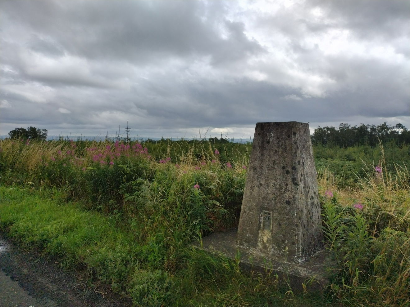
This is the Military Road trig point (269m) near Corbridge.

From the Stanley Plantation parking area, turn right, heading east up the B6318.
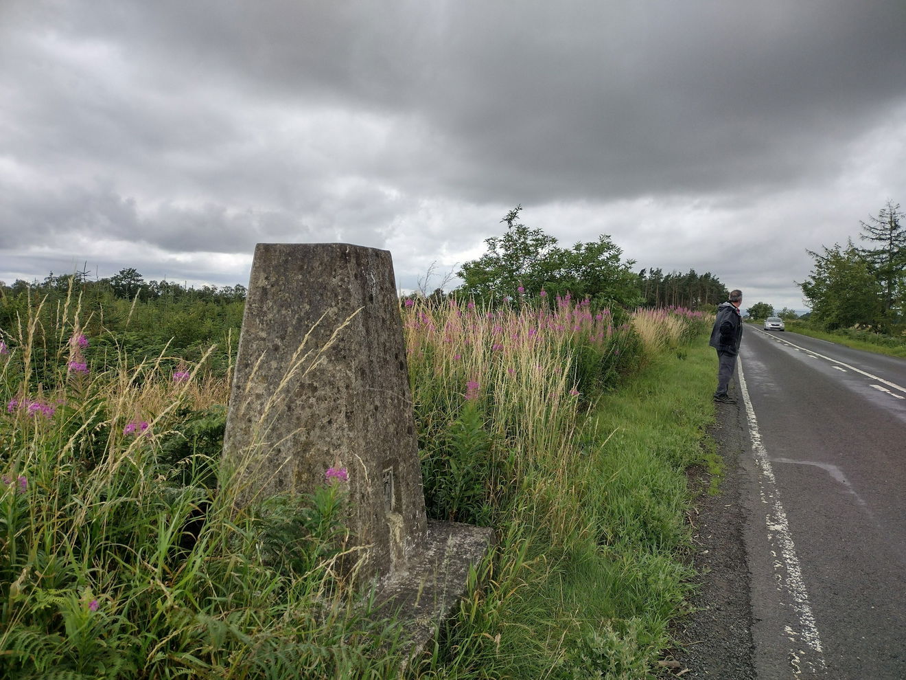
Please take care walking down the road as there is no footpath. The trig can be found on the verge on the right.

It is just over 0.5km to the trig point.
Follow the above route, or find on OS Maps.
Login to be able to bag trigs and see which trigs are left on your to do list.
Login To Bag Trig PointsHow To Find Military Road Trig Point
Where Is Military Road Trig Point?
Lat / Long
55.015443, -2.0435223
What three words
Where To Park For Military Road Trig Point?
Lat / Long
55.01654599086315, -2.0524318
What three words
There is parking for a few cars at the Stanley Plantation.
More Trig Points Near Corbridge
Find more trig points near to Corbridge, Northumberland.

Dilston Trig Point
187m Bracket S6500 CorbridgeThis is the trig point for Dilston (187m) near Corbridge.
Find Us On Facebook
Come and join our friendly Facebook group and share photos of your trig bagging.
Or ask any questions about the trig points in Northumberland.
Join Northumberland Trigs Facebook Group