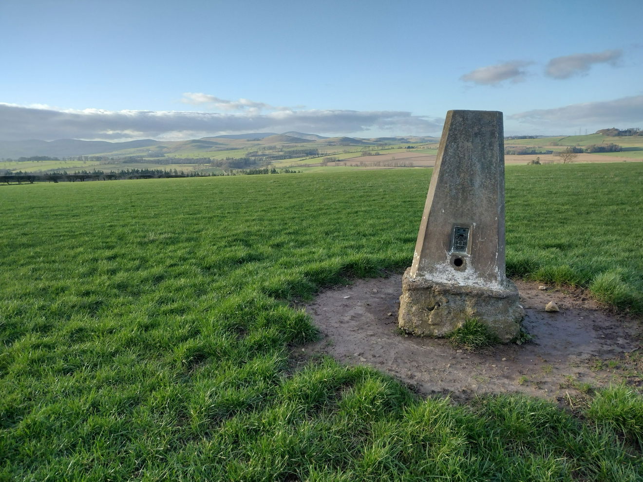
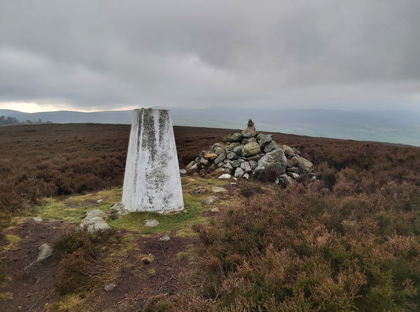
Lane End Trig Point
Trig Point In Rothbury, Northumberland
The Lane End trig point in a field overlooking Whittingham (143m) near Rothbury.
Height - 143m// Bracket - S3570 // Postcode - NE66 4RE
Login to be able to bag trig point and see which trig points are left on your to do list.
Login To Bag Trig Points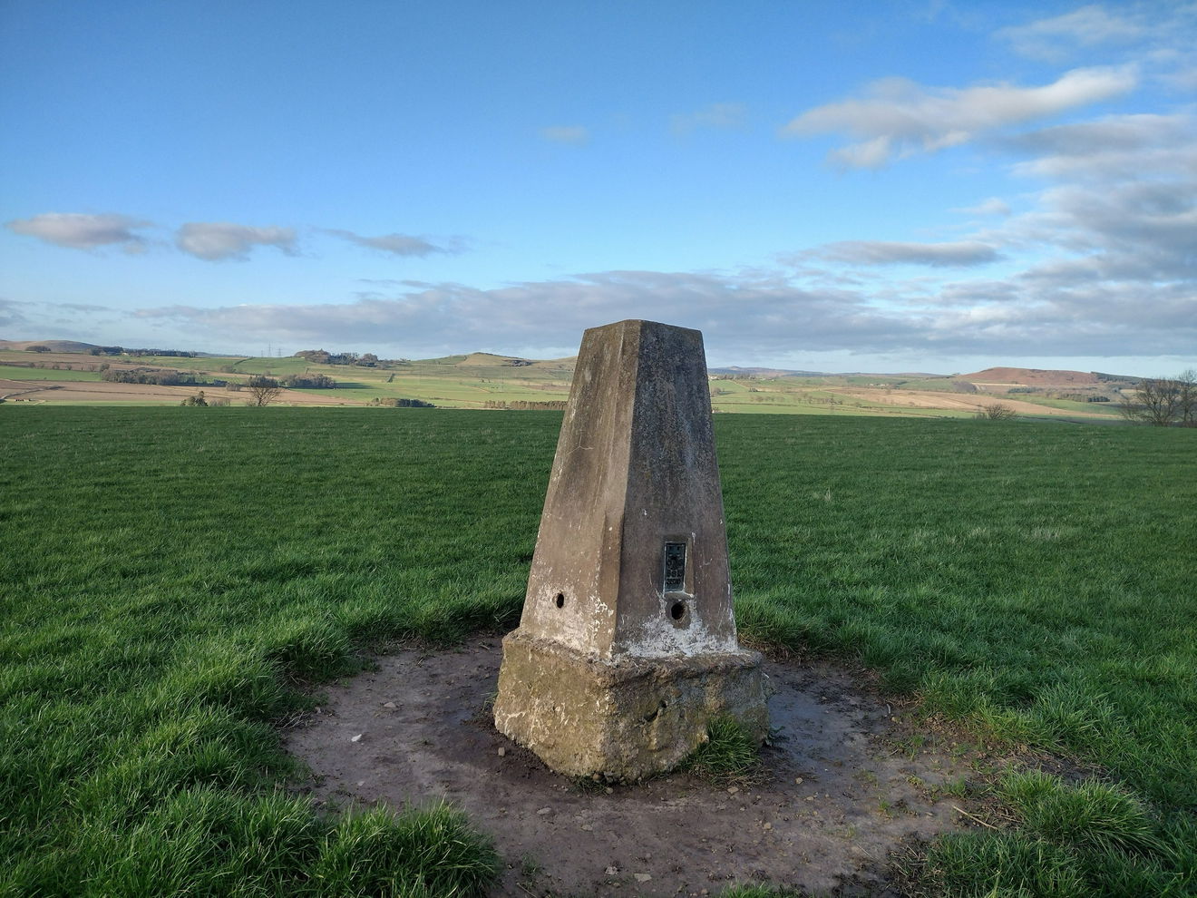
This is the Lane End trig point (143m) near Rothbury.
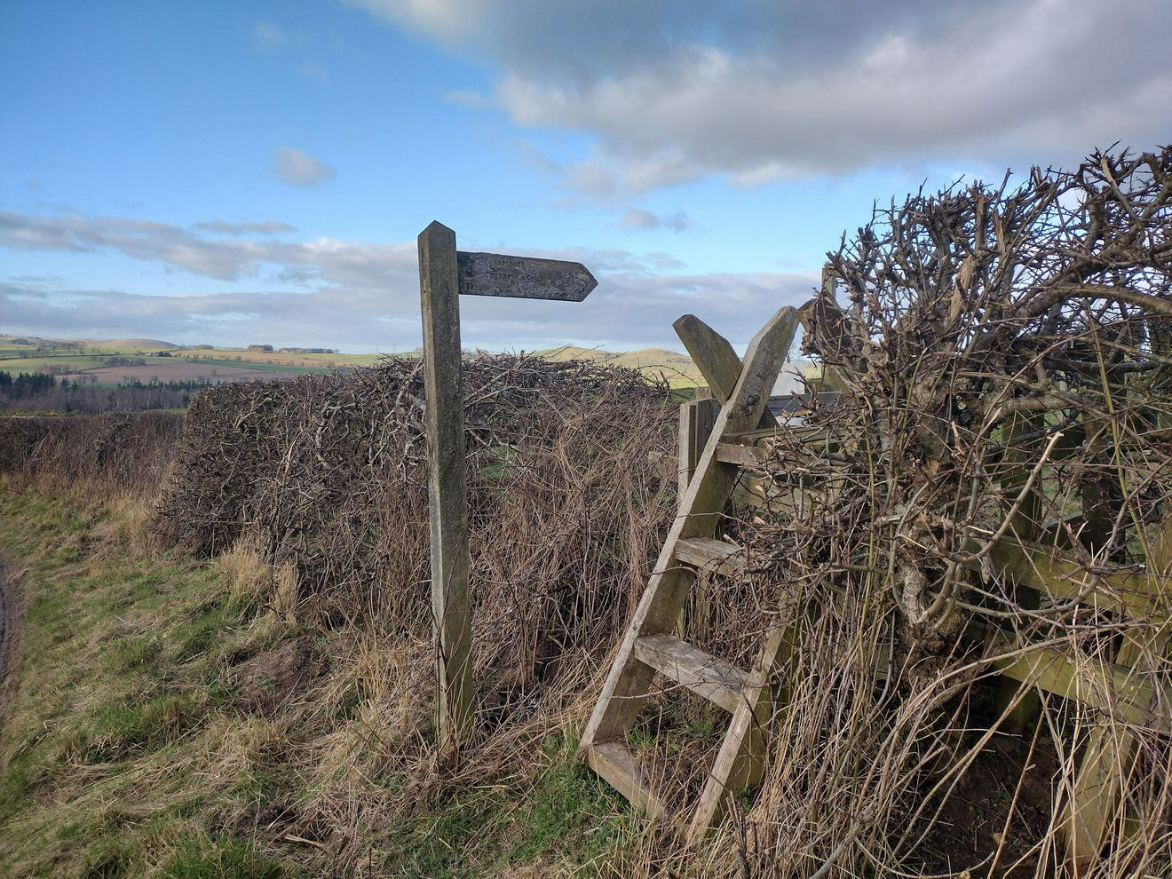
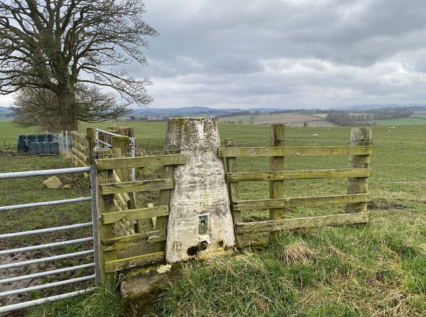
From the parking space, take the ladder stile and head north east on the PROW.
Although it is a PROW the next gate was locked, so climb over the gate, then turn left through another gate. Cross the field heading north east. Enter the next field and walk for a short distance before turning right into the field containing the trig point. Head straight up the field to the trig.

It is less than 1km to the trig point.
Follow the above route, or find on OS Maps.
Login to be able to bag trigs and see which trigs are left on your to do list.
Login To Bag Trig PointsHow To Find Lane End Trig Point
Where Is Lane End Trig Point?
Lat / Long
55.393438, -1.8917042
What three words
Where To Park For Lane End Trig Point?
Lat / Long
55.38992, -1.89893
What three words
There is parking for one car, please make sure not to block the road or the gate.
More Trig Points Near Rothbury
Find more trig points near to Rothbury, Northumberland.
Long Crag Trig Point
320m Bracket S3572 RothburyThis is the trig point for Long Crag (320m) in Thrunton Wood near Rothbury.
Target Plantation Trig Point
250m Bracket S3547 RothburyThe trig point sitting on top of Target Plantation (250m) above Rothbury.
High Trewhitt Trig Point
165m Bracket S3548 RothburyThis is the trig point for High Trewhitt (165m) near Rothbury.
Find Us On Facebook
Come and join our friendly Facebook group and share photos of your trig bagging.
Or ask any questions about the trig points in Northumberland.
Join Northumberland Trigs Facebook Group