East Lightside Farm Trig Point
Trig Point In Allendale, Northumberland
The East Lightside Farm trig point sits on the edge of a field (246m) near Allendale.
Height - 246m// Bracket - S6487 // Postcode - NULL
Login to be able to bag trig point and see which trig points are left on your to do list.
Login To Bag Trig Points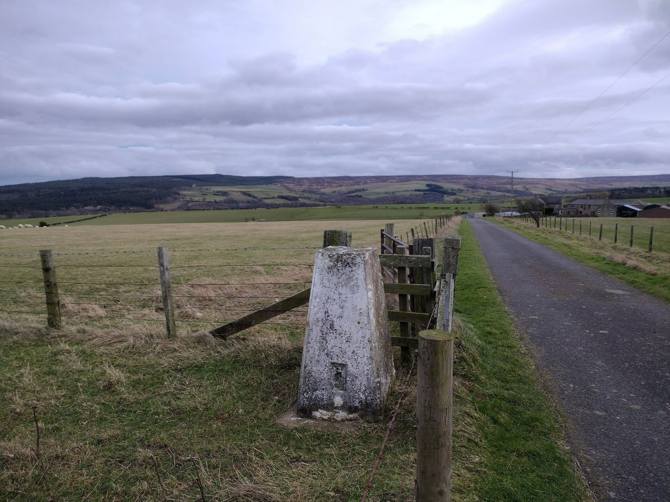
This is the East Lightside Farm trig point (246m) near Allendale.
From the verge parking, head up the road marked Salmonfield. The trig is in the corner of a field on the left.
Follow the above route, or find on OS Maps.
Login to be able to bag trigs and see which trigs are left on your to do list.
Login To Bag Trig PointsHow To Find East Lightside Farm Trig Point
Where Is East Lightside Farm Trig Point?
Lat / Long
54.906478, -2.1371981
What three words
Where To Park For East Lightside Farm Trig Point?
Lat / Long
54.90868, -2.14132
What three words
There is parking for one car opposite the road leading up to the farm.
More Trig Points Near Allendale
Find more trig points near to Allendale, Northumberland.
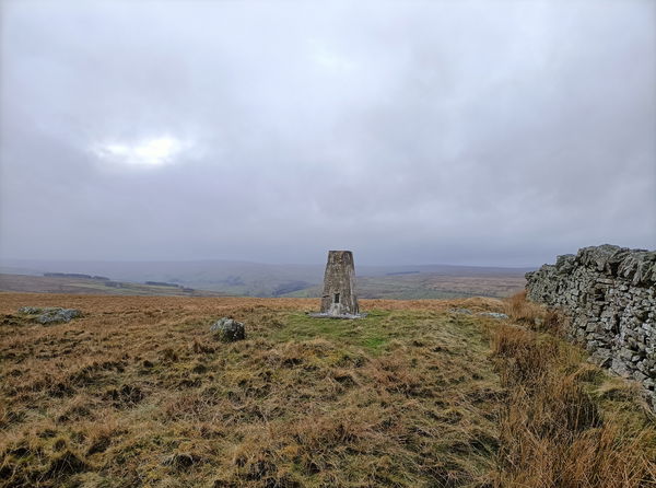
Ripley Carrs Trig Point
438m Bracket S6656 AllendaleThis is the trig point for Ripley Carrs (438m) near Allendale.
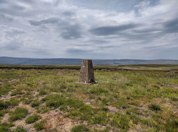
Harwood Side Trig Point
489m Bracket S6657 AllendaleThe Harwood Side trig point sits on Sinderhope Carrs (489m) near Allendale.

Watsons Pike Trig Point
447m Bracket S6700 AllendaleThis is the trig point for Watsons Pike (447m) near Allendale.

Find Us On Facebook
Come and join our friendly Facebook group and share photos of your trig bagging.
Or ask any questions about the trig points in Northumberland.
Join Northumberland Trigs Facebook Group